
Mapping Beaver Comebacks in Somerset, UK
How Habitat Suitability and Community Science Are Helping Track a Growing Population
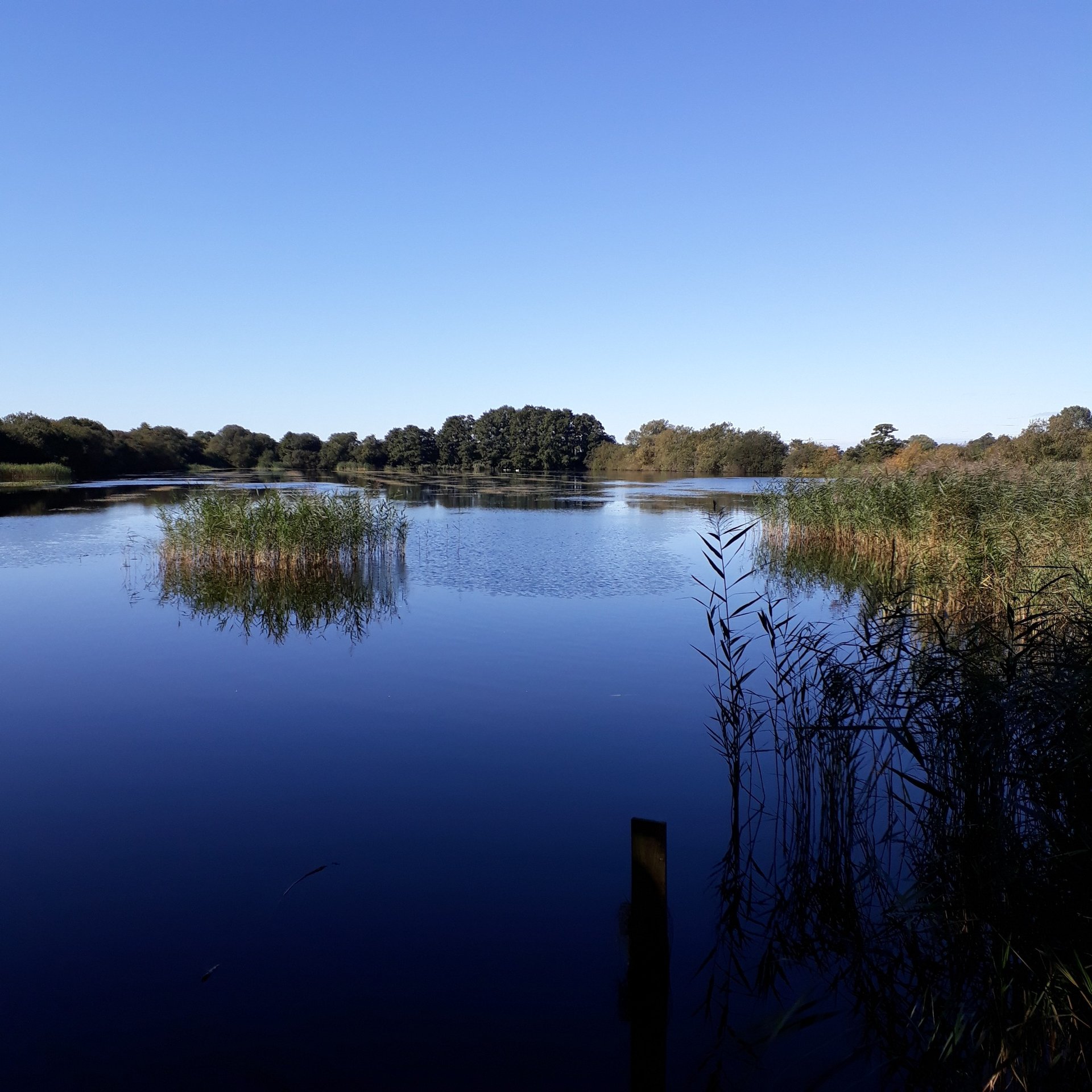
Beavers are making a remarkable return to Somerset. As they disperse through the county’s rivers and wetlands, understanding where they are and where they’re likely to establish next is essential for monitoring their recovery and supporting the communities living alongside them. This spring, we were delighted to work with the Somerset Wildlife Trust on a project that combined habitat modelling, community science, and eDNA to create a baseline of beaver presence across key parts of Somerset.
The first stage of the project involved creating a habitat suitability map for Somerset. To do this, we used the Beaver Forage Index from Graham et al. (2020). The Beaver Forage Index helps to identify suitable habitats across the county. We clipped the suitability model to 100m buffers around the county’s river network. The result was a map showing areas of potentially suitable and unsuitable beaver territories – a clear picture of the landscapes most likely to attract dispersing individuals.
This map provided the ecological foundation for the next step: on-the-ground monitoring.
The Somerset Wildlife Trust then identified 26 priority survey locations. These were chosen based on two criteria:
Proximity to community scientists – ensuring volunteers could easily access their sites.
Ecological value – areas where detecting beavers would be particularly informative for understanding dispersal pathways.
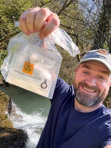
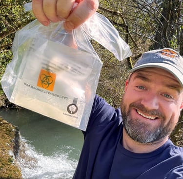
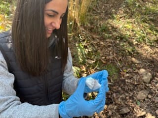
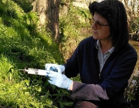
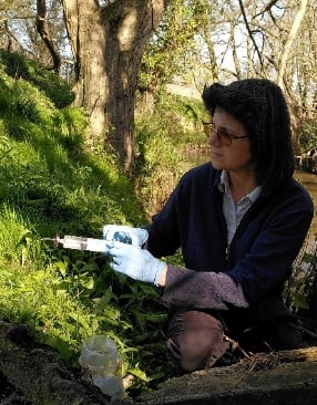
On 6th April 2025, to celebrate International Beaver Day, volunteers from across Somerset headed out to collect eDNA water samples from their assigned sites. This was an incredible example of what community science can achieve: dozens of people, trained and coordinated, gathering high-quality environmental data on the same day.

We received the samples at our laboratory and processed them using our bespoke beaver eDNA assay.
Of the 26 sites sampled:
Six returned positive eDNA results
Twenty showed no detection (for now)
The six positive detections indicate that beavers are present upstream within those river systems. Because eDNA moves with the flow of water, a positive result tells us that beavers are somewhere above that sampling point, although not exactly where.
Importantly, a negative result does not necessarily mean beavers are absent. They may still be present downstream or passing through intermittently. As beaver populations continue to grow and disperse, we expect more sampling locations to return positive results in future surveys.
This project marks an exciting starting point for understanding beaver expansion in Somerset. By combining:
high-resolution habitat modelling,
strategically selected survey sites,
community-powered sample collection, and
sensitive laboratory eDNA techniques,
We now have a robust baseline to track how beavers are recolonising the county’s rivers. If you’re interested in monitoring beaver dispersal in your county or with your community group, get in touch.
Graham, H.A., Puttock, A., Macfarlane, W.W., Wheaton, J.M., Gilbert, J.T., Campbell-Palmer, R., Elliott, M., Gaywood, M.J., Anderson, K. and Brazier, R.E., 2020. Modelling Eurasian beaver foraging habitat and dam suitability, for predicting the location and number of dams throughout catchments in Great Britain. European Journal of Wildlife Research, 66(3), p.42.
A selection of Somerset Wildlife Trust's brilliant community scientists
The eDNA Consultancy
Where our expertise meets yours
ADDRESS
Unit 1, Tanhouse Farm, Frampton on Severn, Gloucestershire, GL2 7EH, GB
INQUIRE ABOUT OUR SERVICES
Web design and graphics by Bear Bones
The eDNA Consultancy Ltd is registered in England and Wales 15508607. VAT no: 482885735 © Copyright The eDNA Consultancy Ltd. All rights reserved.